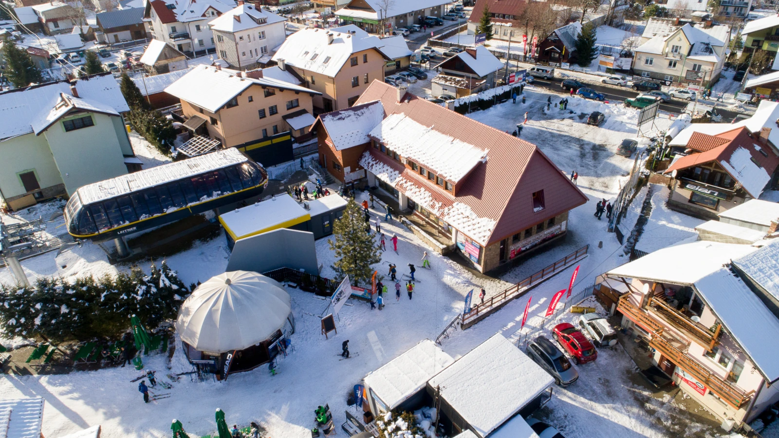
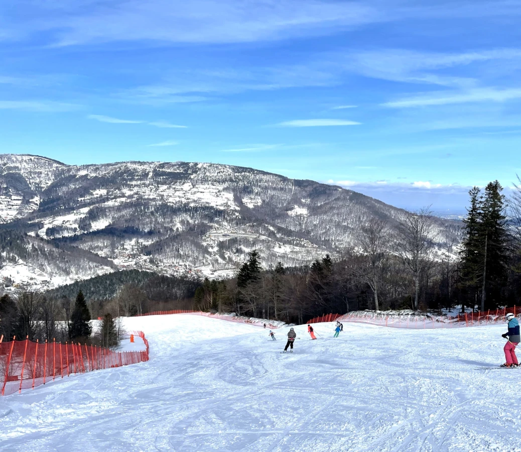
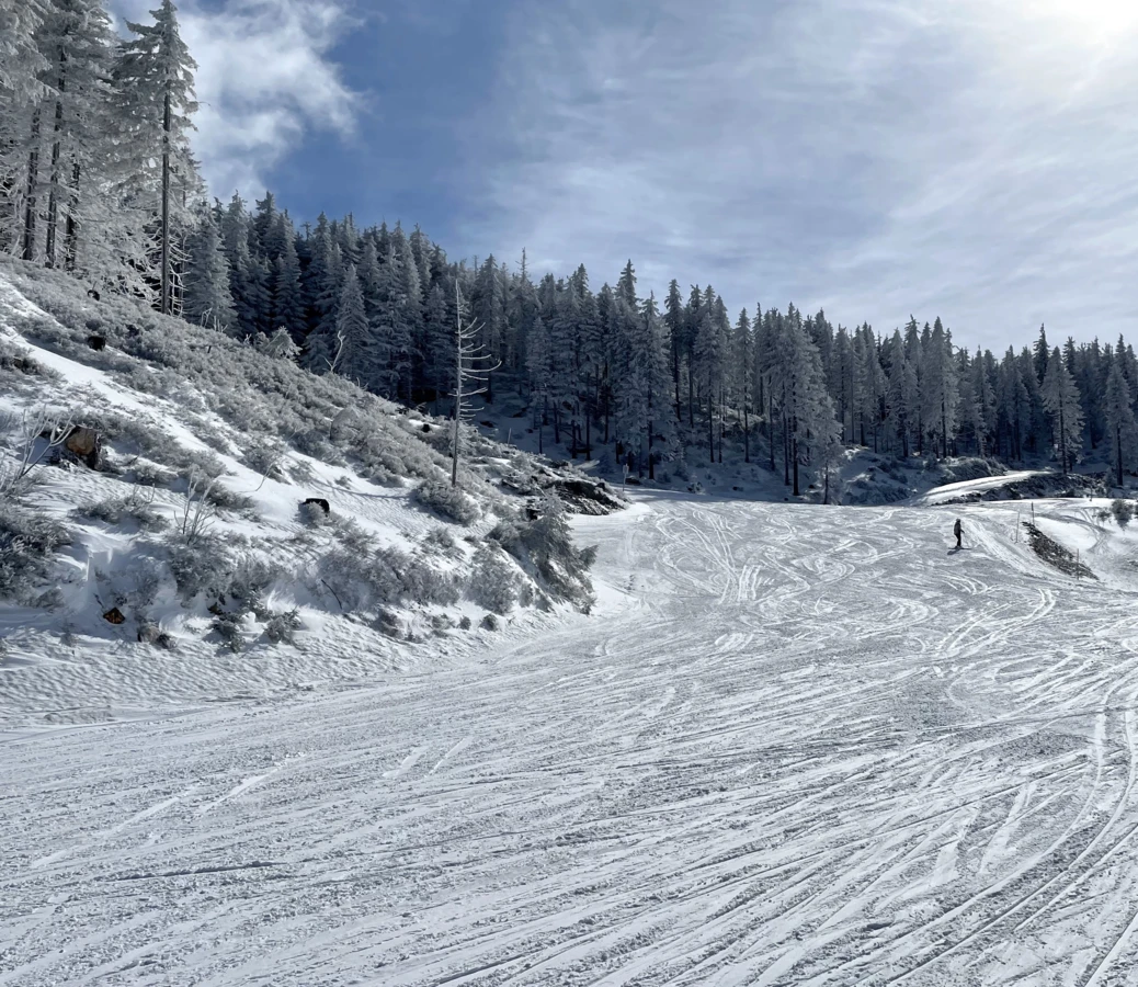
Skrzyczne is a characteristic peak in the Silesian Beskids. Rising to the height of 1,257 m above sea level, it is one of the highest peaks in this part of the country. It is a popular tourist destination, attracting both experienced hikers and mountain walkers. The summit offers picturesque views of the surrounding areas, and its slopes are home to numerous hiking trails and ski slopes, providing entertainment all year round.
Map of Skrzyczne - Winter
CABLEWAY Szczyrk– Jaworzyna
CABLEWAY Jaworzyna – Skrzyczne
CABLEWAY Doliny – Skrzyczne
Dolina's T-bar lift
Jaworzyna's T-bar lift
Jaworzyna's Belt Lift

Low Railway Station
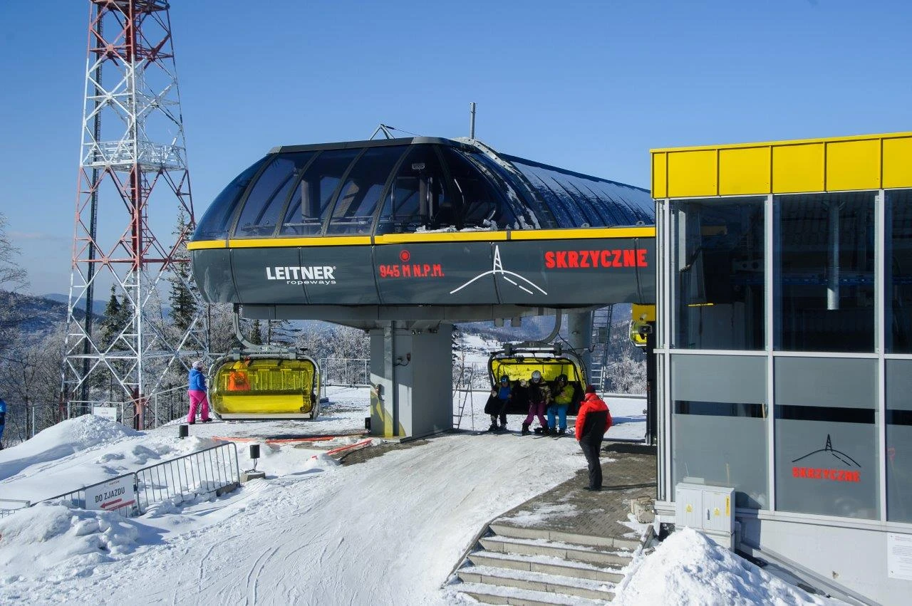
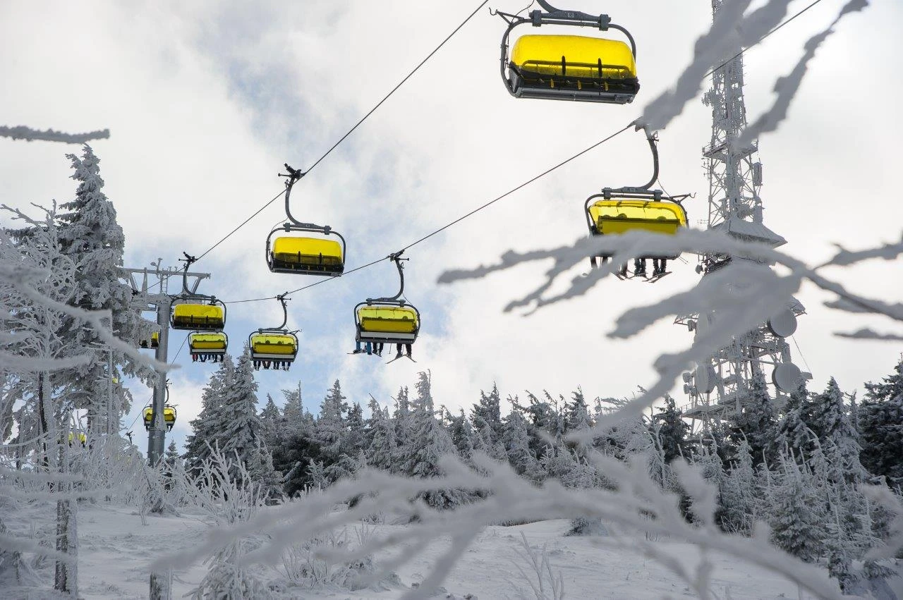
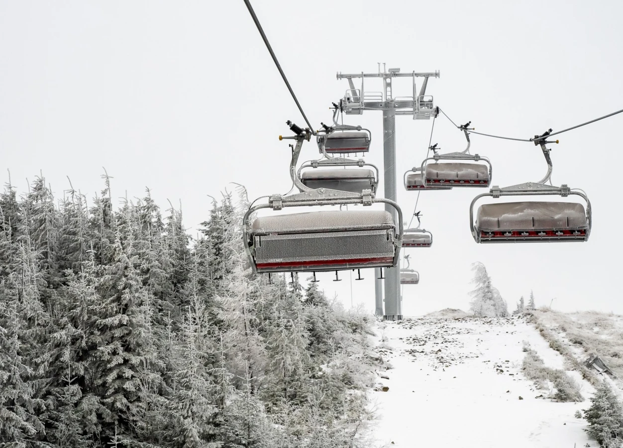
The Skrzyczne Cable Railway is a modern infrastructure allowing efficient and comfortable travel by a 4-seater chairlift with a capacity of 2,400 people per hour both to Jaworzyna, and to the very top of Skrzyczne.


FIS Skrzyczne - Ridge
FIS Ridge - Dolina's Rail
FIS Dolina's Rail - Dolina's T-bar lift
FIS Dolina's T-bar lift - Canyon
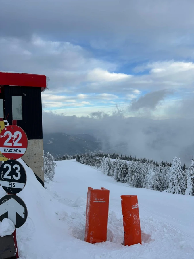
KASKADA Skrzyczne - Jaworzyna
KASKADA Dolina's Rail - Dolina's T-bar lift
ONDRASZEK Skrzyczne - Jaworzyna
ONDRASZEK Jaworzyna - Dolina's Rail
WIDOKOWA Dolina's Rail - Dolina's T-bar lift
WIDOKOWA Dolina's T-bar lift - Low Station
JAWORZYNA
KASKADA Jaworzyna - Dolina's Rail
KASKADA Dolina's T-bar - Low Station
25b WIDOKOWA: KANION-DOLNA STACJA
25b
Open
Open
Closed
Closed
Closed
Closed
Skrzyczne is a characteristic peak in the Silesian Beskids. Rising to the height of 1,257 m above sea level, it is one of the highest peaks in this part of the country. It is a popular tourist destination, attracting both experienced hikers and mountain walkers. The summit offers picturesque views of the surrounding areas, and its slopes are home to numerous hiking trails and ski slopes, providing entertainment all year round.
The Skrzyczne Cable Railway is a modern infrastructure allowing efficient and comfortable travel by a 4-seater chairlift with a capacity of 2,400 people per hour both to Jaworzyna, and to the very top of Skrzyczne.
Closed
Closed
Closed
Closed
Closed
Closed
Closed
Closed
Closed
Closed
Closed
Closed
Closed
Closed
Closed
Open
Open
Closed
Closed
Closed
Closed